Leon Sinks Florida is a stunning, natural phenomenon that has captivated the attention of locals and visitors alike. Located in the panhandle region of Florida, this underground water system is an intricate network of collapsed limestone caves, tunnels, and waterways.
Formed over thousands of years due to erosion and the acidic nature of rainwater, this remarkable system provides an enchanting glimpse into the geological history of Florida.
The Leon Sinks Geological Area in the Apalachicola National Forest, just south of Tallahassee, provides a lovely introduction to the wonders of karst geology.
As water rushes into, out of, and through the Swiss-cheese holes that occur inside karst, it creates a landscape that is the result of severe erosion of soft rock, such as limestone.
Since most of Florida’s aquifers are located in karst, there is little to no filtering as groundwater seeps through the porous limestone bedrock and begins to flow from one location to another.
Exploring the Woodville Karst Plain’s Unexplored Depths
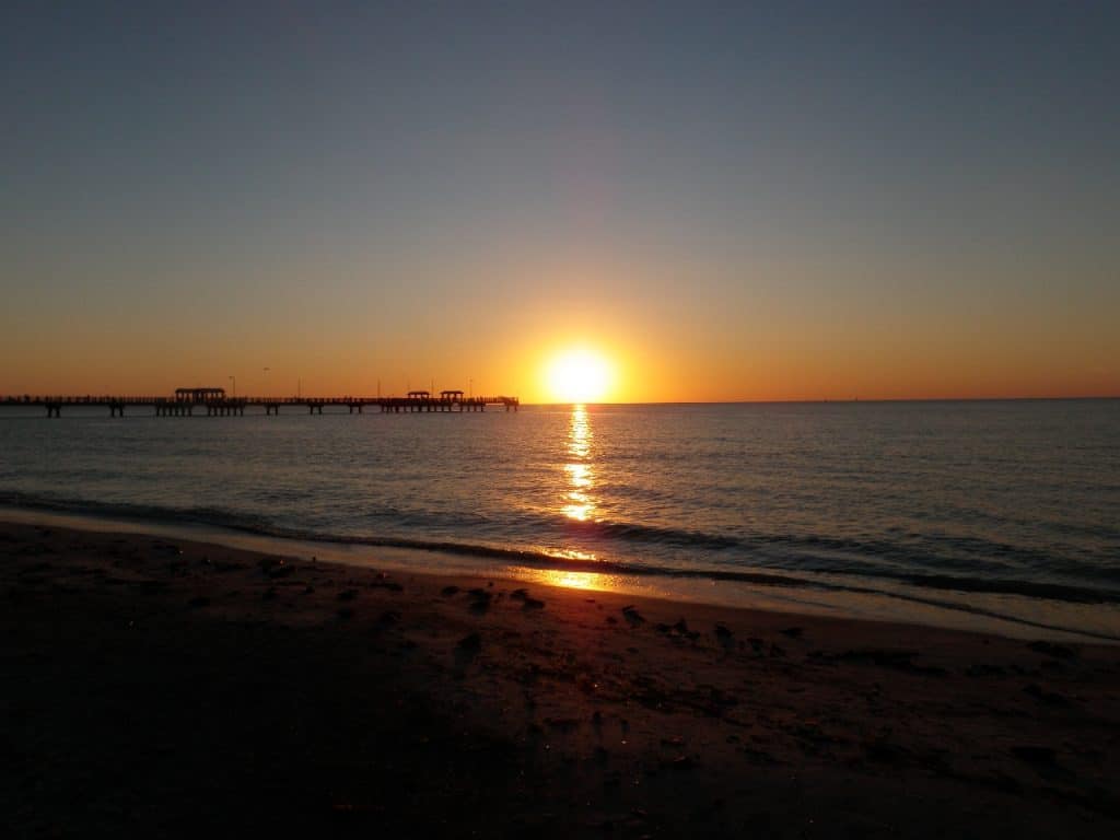
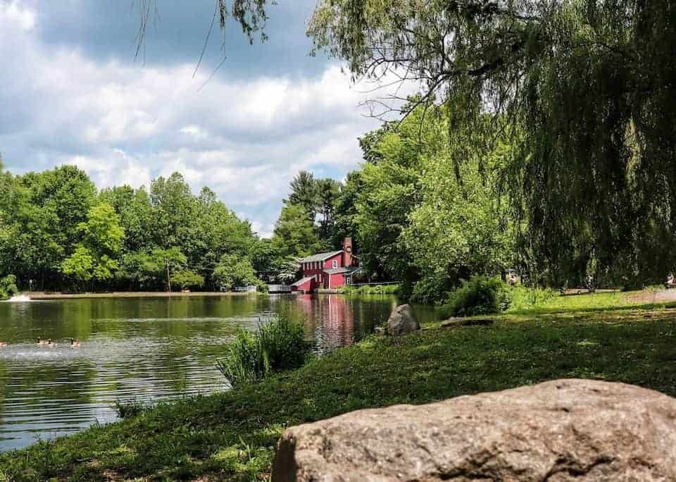
Just a few kilometers to the southeast of Leon Sinks, you could once travel across Wakulla Springs on a glass-bottomed boat.
The Woodville Karst Plain, where Leon Sinks is a prominent feature, is where groundwater contaminated by nitrates from leaching septic tanks and lawn fertilizer travels before arriving at one of the largest springs in the world.
As a result, the spring’s clarity is currently suffering.
At Leon Sinks, you’ll find a variety of colored pools of water at the bottom of deep sinkholes. You can look directly into a watery cave, observe water disappearing in an eroding stream, and witness it resurfacing in a rising river.
The path system is challenging yet enjoyable and abundant in beautiful plants, especially in early spring.
Unraveling the Mysteries of Leon Sinks Florida
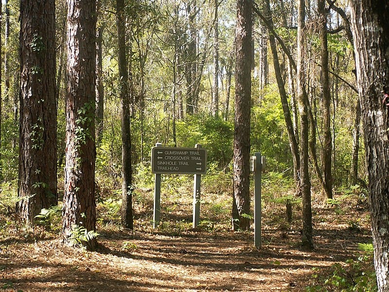
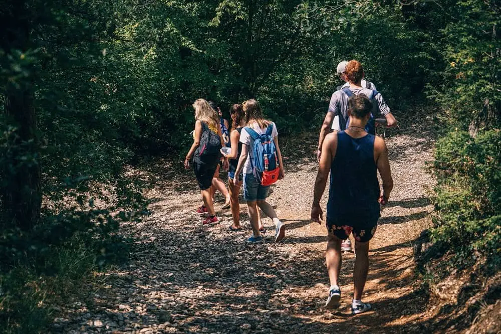
At Leon Sinks, camping is not permitted. Two loops make up the trail system: the 3.1-mile Sinkhole Trail (blazed blue) and the 2.3-mile Gum Swamp Trail (blazed lime green), which are connected by a 0.5-mile cross-trail.
I usually hike the trail system counterclockwise so that I may choose whether to continue on the outer loop at the cross-trail or not. The whole outer loop is described in this hike.
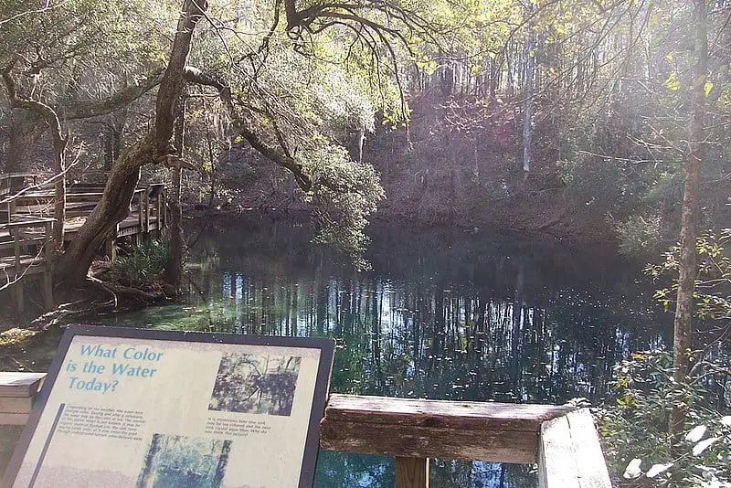
Before you begin your journey, take a look at the explanatory materials at the trailhead. Knowing a bit more about karst before you start climbing into and out of sinkholes will dramatically increase your appreciation for the bizarre landscapes that lie within.
Experience Nature’s Immense Power – Hiking Leon Sinks!
The main loop can be reached from the trailhead near the facilities by a short connection route. To start traversing the Sinkhole Trail, turn right.
Longleaf pine and wiregrass, the traditional forest that once covered the Southeast but has since diminished to a mere fraction of its former extent, are perched above this undulating landscape.
We are fortunate that a large portion of it is protected by the Apalachicola National Forest, which was founded in 1937. You follow the blue blazes into Dry Sink, a depression dotted with dogwood and Southern magnolia trees, by descending a flight of stairs.
Take note of the wooden signs announcing your presence and the name of each sink. The path ascends and turns to lead to a benched overlook of deep Turner Sink.
You cross an old jeep road, circle around Cone Sink’s left side, pass Palmetto Sink, and finally arrive at Back Sink. Here, sneak down the side trail to peer inside the sink and observe its two deep, throat-like bowls.
It is 0.5 miles till you reach Far Sink. Watch for a flash of aquamarine through the trees as you proceed along the ridge, and be sure to take the turnoff to Hammock Sink on the left.
This is one of my favorite rest stations on the trip, so take your time to sit down, unwind, and enjoy it. If you have a camera, make sure to snap lots of pictures from all angles.
The Hammock Sink is an aquamarine-colored pool that is both crystal clear and naturally colored. Incredibly beautiful for a natural characteristic, the color.
The ridge above is bordered by dogwoods, adding a burst of springtime color. The boardwalk and observation deck offer great vantage points for this natural area.
Tiny Sink will be reached shortly after leaving Hammock Sink if you climb up and leave on the trail to the left. You’re headed to the Big Dismal Sink; another ostentatious karst display.
Surprising Sinkhole Submerges Florida Hike
Your view is from an observation deck at the top of this 130-foot-deep sinkhole, the deepest in the Woodville Karst Plain, so you can see why the trail doesn’t descend into it from its size.
A cylindrical viewport into the aquifer with no safe way to reach the water below, it is a true karst window. Groundwater seeps from above the clay cover of the forest soil and flows down through the ferns and other flora into this deep, black sink, creating spontaneous waterfalls.
The trail ascends into longleaf pine sandhills and passes the dry Field Sink, where spring and fall wildflower displays are particularly spectacular. At 1.2 miles, you ascend through a shaded upland forest and proceed directly toward Big Eight Sink. Don’t dive in!
The following is Magnolia Sink, which is bordered by strange rock formations and Southern magnolias. You can rest on a bench that is located next to Black Sink.
Before returning to the leafy forest, the track emerges once more into the sandhill environment for a leisurely undulating stroll.
The choice to take the high water route or descend into the valley for a peek is just past an area with several benches. It’s simply a look because the bridge over Lost Stream Sink has been removed.
A lost stream is one that gradually disappears into the ground as a result of the karst beneath it; it eventually flows underground.
The trail system’s decision-making point, the intersection of the Crossover Trail and Gum Swamp Trail at 2.1 miles, is reached after a brief stroll through the woodland.
The good news is that there are no more sinkholes to climb into and out of along the trail system if that has you exhausted. Therefore, you can choose if you wish to go on a 3.1-mile hike. 
On a boardwalk, the Crossover Trail travels into the center of Gum Swamp, where the angular tree trunks contrast with the murky water. The Gum Swamp Trail’s outer loop skirts its edge yet has its own attractions.
Since you have to cross a natural bridge to get to the trail intersection, this location is interesting geologically.
At the foot of enormous rocks, Fisher Creek, sometimes known as the Lost Stream, springs to life as it flows past a steep bluff. Along the Gum Swamp Trail, there is a bench where you may rest and enjoy the scenery.
Leon Sinks Florida is a great place to visit for anyone looking to explore the magnificence of nature. With its diverse ecosystem and captivating landscapes, Leon Sinks provides an unforgettable experience that can be enjoyed by people of all ages.
Its protected nature preserves, karst features, and rare species of flora and fauna make it a unique destination that could inspire even the most seasoned traveler.
Those in search of adventure should consider exploring Leon Sinks this season – you won’t be disappointed!